|
|
|
|
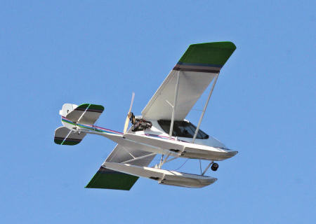
| I had been waxing eloquent to Patrick Vinet
about the wonders of Georgian Bay for so long he could stand it no more.
He ejected from his desk and flew his Challenger from Mont Tremblant to
Edenvale. North of Montreal to north of Toronto. As the Challenger flies
this is 500 km. As the crow drives it is 750 km. Now that justifies a plane!
Here is the account of Patrick's guided tour!
(Webmaster's Note: As usual on challenger.ca you can click on the pictures below to see enlargements.)
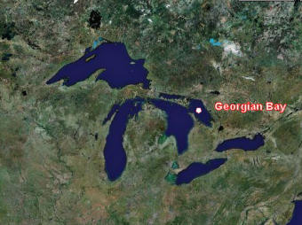
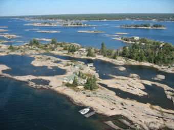
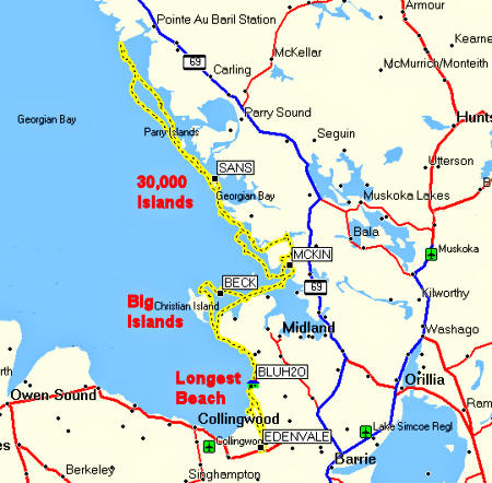
Georgian Bay is a bay off Lake Huron however it is sometimes referred to as the sixth of the five Great Lakes. At 320 km by 80 km it is about the same size as Lake Ontario! Fortunately navigation from Mont Tremblant to Edenvale Aerodrome
is rather easy: Patrick's trip from Tremblant to Edenvale was in somewhat
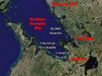
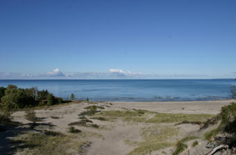
scuzzy weather. The mission objectives were threefold: (1) to cruise Nottawasaga
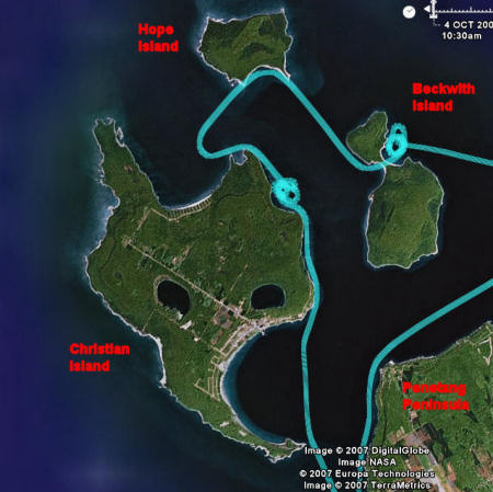
Bay - the world's longest freshwater sand beach, (2) to hop Christian,
Hope and Beckwith Islands, and
Mission day dawned bright and clear - that's according to
Patrick - I'm never up that early!
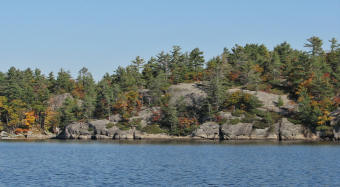
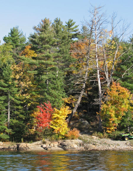
In 1822 Georgian Bay was named after King George IV by Captain
Bayfield of the Royal Navy. This day our sea was indeed sweet - from the giant sand dunes
of Bluewater Beach
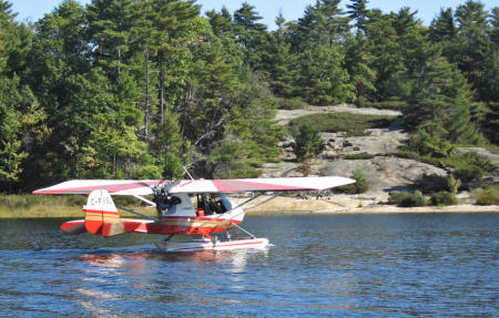
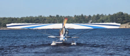
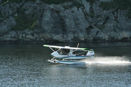
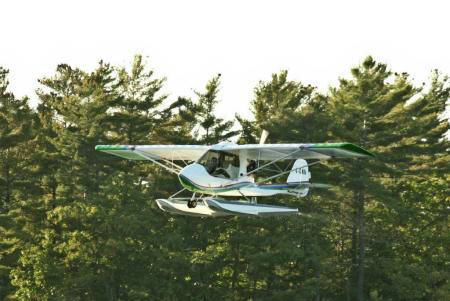
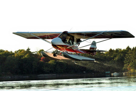
Few Challenger flights are complete without umpteen landings
for no particular reason.
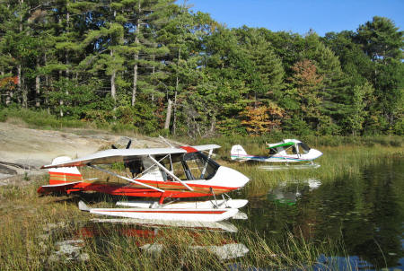
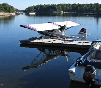
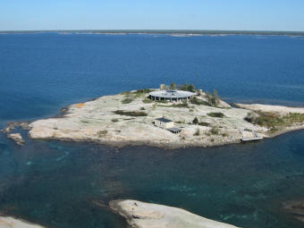
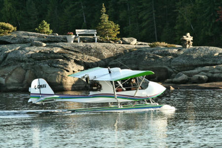
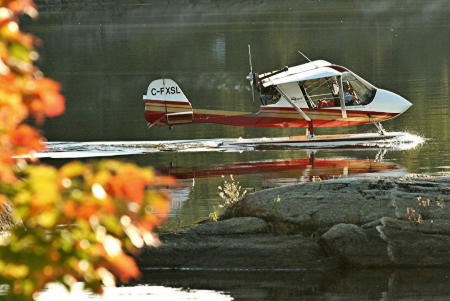
Henry and Yvonne McKinlay's cottage near Bone Island is definitely not for wheelplanes:
Henry parks his Challenger on a granite rock which slopes
up out of the water. (Webmaster's Note: The prop on the left below is the McKinlay's Cessna - they're a two amphib family!)
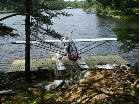
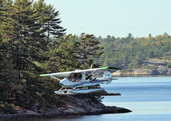
Keith Robinson, from Go Home Lake, parked his Challenger at the McKinlay's boat dock. Keith's own cottage hasn't seen a gently sloping shoreline
since the glaciers ran amok.
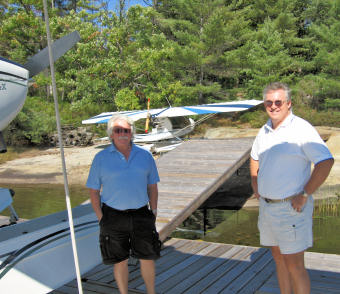
Since we will have a four ship formation we discuss protocol
before departing.
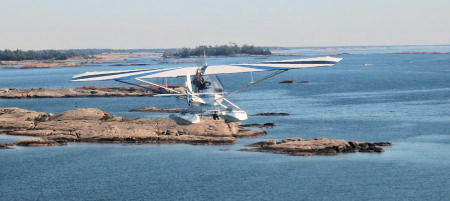
We will fly out to follow the outer route along the unprotected
edge of the inland sea.
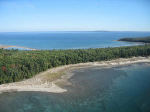
The western shore is the exact opposite - towering dark cliffs
and extremely deep water. Pointe au Baril, just past Parry Sound, is the apogee of our flight, an hour from the cottage.
Our inner route back along the bay loosely follows the Small
Craft Route
Along the eastern shore the trees are mostly wind swept pines
with a sprinkling of deciduous.
Two and a quarter hours after departure we land back at McKinlay's
for Lunch.
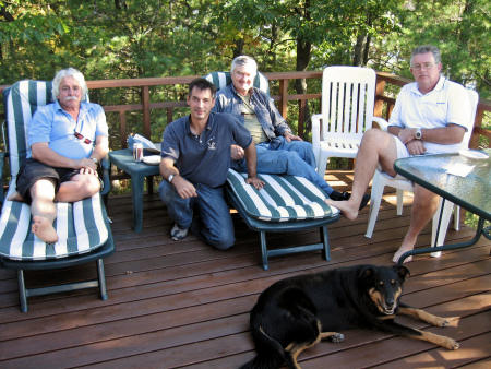
After sandwiches and sodas a formal mission debrief followed:
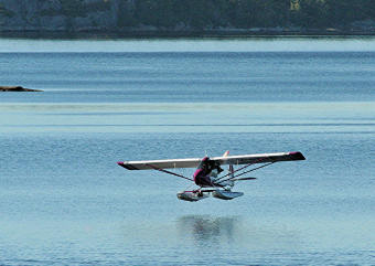
Then, all good things having to come to an end, it was time
to take to the water.
Heading off into the sunset, to re-visit the big islands and longest beach on the way home:
(Ask Bryan why the picture below reminds him of a special day near Sydney, Australia!)
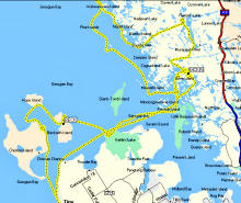
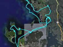
At the end of the day I downloaded the GPS track to my laptop. You can tell right away from the maps below that these are Challenger tracks - there's not a straight line to be found anywhere!
In total Patrick and I each logged 4.9 hours with one land
takeoff and landing plus seven water landings and takeoffs. The last two
water landings were well out from shore on glassy water.
We covered 275 miles - mostly over water at low altitude. As the crow flies it would have been much less - Edenvale to Edenvale is zero miles. If getting to the destination had been the goal, we could have stayed home. Thank goodness we didn't ! Here's to time spent getting nowhere! As I write this travelogue it is early November - the five
day forecast has the word snow in it!
For more great Georgian Bay photos by Yvonne McKinlay and Patrick Vinet click to Hot Shots!
|